Multi Spectral Remote Sensing
Multispectral remote sensing is a passive remote sensing type. This means that the sensor is measuring light energy from an existing source - in this case the sun.
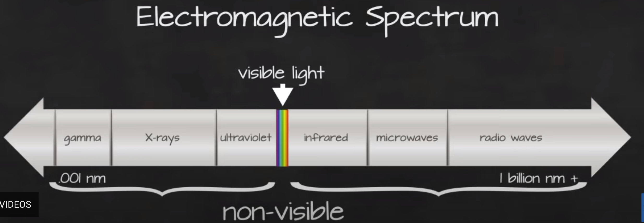
Electromagnetic Spectrum
The electromagnetic spectrum is composed of a range of different wavelengths or “colors” of light energy. A spectral remote sensing instrument collects light energy within specific regions of the electromagnetic spectrum. Each region in the spectrum is referred to as a band.
Bands and wavelengths
Spectral remote sensing data are collected by powerful camera-like instruments known as imaging spectrometers. Imaging spectrometers collect reflected light energy in “bands.”
In Multispectral dataset, the band information is reported as the center wavelength value. This value represents the center point value of the wavelengths represented in that band. Thus in a band spanning 800-850 nm, the center would be 825 nm.
Spectral Resolution
The spectral resolution of a dataset that has more than one band, refers to the spectral width of each band in the dataset.
Spatial Resolution
The spatial resolution of a raster represents the area on the ground that each pixel covers. If you have smaller pixels in a raster the data will appear more “detailed.” If you have large pixels in a raster, the data will appear more coarse or “fuzzy.”